Purpose of the Guide
The Central Arkansas Regional Transportation Study (CARTS) Multimodal Infrastructure Guidelines are based on the recognition that our streets not only connect us to jobs, education, shopping, and recreation, but they are also our most active and visible public spaces. Our streets have a tangible impact on the quality of life of our residents, quality of experience of our visitors, success of our local businesses, and competitiveness of our regional economy. This Guide establishes an approach to street design that prioritizes all users, accommodates all modes, and offers the opportunity for implementing agencies to apply design decisions with consistency, providing predictability in costs and more uniformity in function and style across the region.
How to Use this Guide
This Guide is a tool for engineers, planners, elected officials, city managers, and advocates to help achieve a safe, inviting, more equitable regional transportation system. It is both aspirational, reflecting what could be rather than what is today, and inspirational, encouraging communities throughout Central Arkansas to transform their streets into places for people.
Jurisdictions that desire to realize integrated multimodal infrastructure should incorporate this Guide as part of their Master Street Plan and/or bicycle and pedestrian master plans to ensure that the best practices presented here become common practice in their communities.
Context and Corridor Types
Seven Corridor Types form the basis of this Guide. They have been developed consistent with, and as a supplement to, existing functional classifications to provide additional guidance on selection of design elements. The Corridor Types provide a shortcut to understanding the relationship between a particular street and its adjacent land use context and how various design details are applied.
Design Details: Flexibility for Decision Makers
This Guide is designed to be useful to a variety of implementers – local governments, Rock Region METRO, the Arkansas Department of Transportation (ArDOT), private developers, and community groups. It describes individual treatments, conditions under which the treatment is appropriate, and specific design guidance. Alternatives are also offered where applicable. These Guidelines become a local implementing agency’s standards if incorporated into their Master Street Plan or another codified ordinance.
Role of Guidelines in Central Arkansas: Local and ARDOT Considerations
Standards for construction, maintenance, and amenities can vary depending on location and what entity owns the right of way. This Guide provides a framework for decision-making based on public input, national best practices, local experience, and new innovation in street design. While it provides an opportunity for partner agencies to leverage resources and provide a more consistent experience for all users throughout the region, decision-making authority resides with the owner.
Major Definitions
» Street: Travelways for people walking, bicycling, using a wheelchair, scootering, accessing transit, on a bus, in an automobile, or delivering goods. As a place of social and economic exchange, as well as travel, the street includes the public realm adjacent the roadway such as sidewalks, paths, transit stops, greens, and other public gathering spaces.
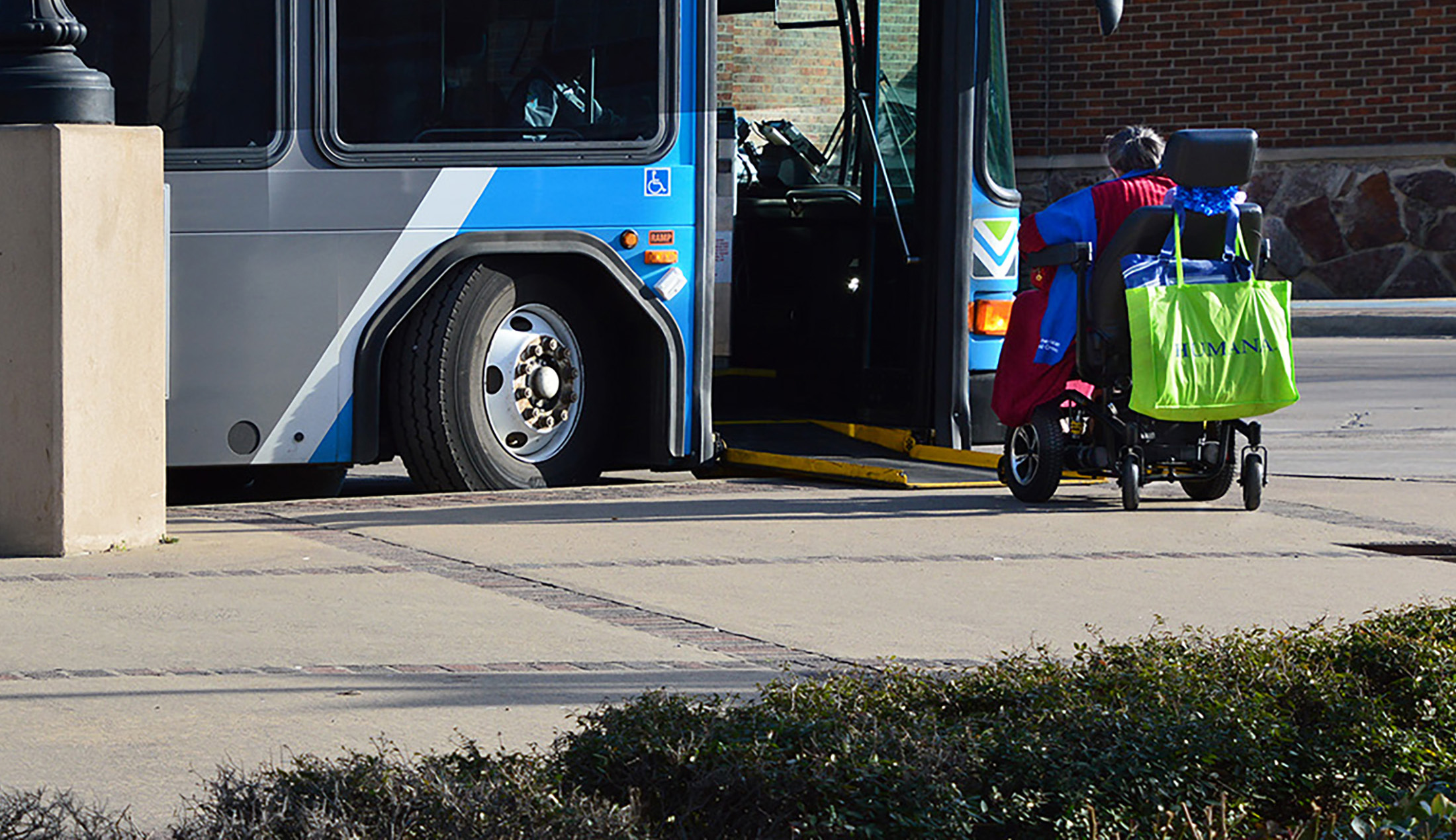
» Transit Amenity: Design and infrastructure features that make the transit experience, whether waiting to board a bus or after alighting, pleasant, comfortable, and predictable. Features include shelters, seating, real-time and static information, lighting, shade, recycling and trash receptacles, appropriate space, and solid surfaces for ease of boarding and alighting at all vehicle doors.
» Bus Lane: A designated travelway for transit vehicles, most typically buses. The lane is marked with paint or other textured treatments to distinguish it from traditional travel lanes. Bus lanes can be shared with bicycles.
» Micromobility: Bicycles, e-bikes, skateboards, rollerblades, scooters, e-scooters, and other small, adaptable transportation modes or technologies that enable efficient movement over relatively short distances, generally between a quarter-mile up to five miles.
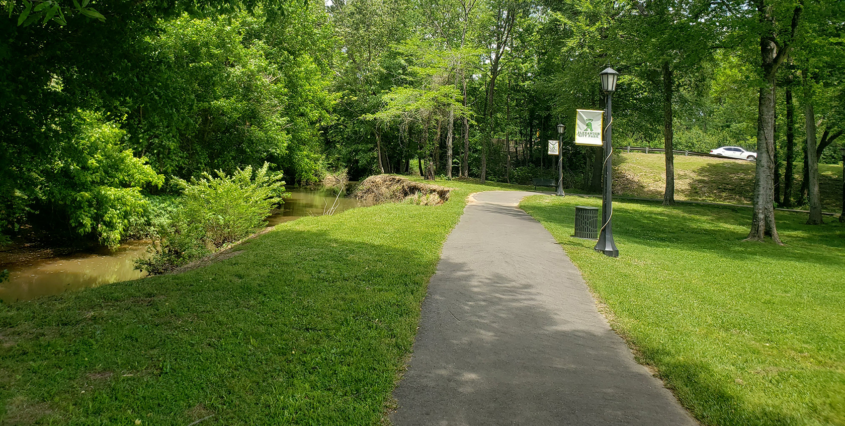
» Urban Trail: An off-street travelway designated for people walking, bicycling, running, using other micromobility options, pushing a stroller, or using a wheelchair.
» Bicycle Facilities: A variety of travelway types that are specifically designed for people riding bicycles. Guidance provided here should be considered supplemental or complementary to local bicycle master plans, which take precedence.
» Parking: On-street and off-street areas specifically designated for the parking of motorized vehicles. Guidance provided here should be considered supplementary or complementary to local parking regulations, which take precedence.
Corridor Types
| Corridor Types | Description | Example Functional Classification | Area Examples |
| Downtown Mixed-Use | These are the most urban streets in the region, and are primarily located in downtown Little Rock, North Little Rock, and Conway. They may have a mix of office, commercial, and residential uses, on street parking, and heavy pedestrian traffic. | Principal Arterial Minor Arterial Collector Local Street | Main Street, Little Rock Capitol Ave, Little Rock Main Street, North Little Rock Main Street, Conway |
| Town Main Street | These streets are the commercial heart of a small town or rural community and are typically characterized by dense single-floor commercial and retail uses over few blocks. | Principal Arterial Minor Arterial Local Street | Front Street, Lonoke North Market St, Benton Kavanaugh Blvd, LR Main Street, Cabot |
| Suburban Residential Connector | These are through streets that traverse several neighborhoods or small towns and are essential to the flow of people between neighborhoods and to access employment. They are multimodal and accommodate pedestrians, bicyclists and vehicular traffic and may be primary transit routes. They vary in land uses, speed and right-of-way widths. | Minor Arterial Collector | E. Lee Ave, Sherwood James Street, Jacksonville Millwood Circle; Maumelle College Street, Conway Shobe Road, Bryant Chenal Valley Drive, LR |
| Urban Residential | The primary role of Urban Residential streets is to facilitate local trips and to contribute to a high quality of life for residents. They are characterized by sidewalks and street trees, slow speeds, and may include bicycle paths or trails, bus stops, and seating or gathering areas. | Local Street | 5th St, North Little Rock Maple St; North Little Rock Monroe St, Little Rock Sevier St, Benton E 6th St, Little Rock |
| Suburban Commercial | Suburban Commercial streets are typically four lane higherspeed roads, characterized by strip commercial land uses and outparcels, and are punctuated by periodic access driveways. Suburban Commercial streets have fewer intersections; the combination of higher speeds and longer distances between signalized crossings can make it difficult for pedestrians, cyclists, and transit users to cross. Suburban Commercial streets should have sidewalks on both sides of the street to accommodate pedestrians and transit users who may be shopping or going to work. | Principal Arterial Minor Arterial | Dave Ward Dr, Conway Chenal Parkway, LR Brockington Rd, Sherwood E. McCain Blvd, NLR Reynolds Rd, Bryant Military Rd, Benton |
| Industrial | Industrial streets support truck traffic and accommodate the loading and distribution needs of wholesale, construction, commercial, service, and food-processing businesses. Industrial streets typically connect directly to the regional highway system and are some distance from Downtown Mixed Use, Town Main Streets, and residential streets. Adequate turning radii at intersections is a primary design concern for these streets. Pedestrian traffic tends to be light, however sidewalks and accessible accommodations should be provided. | Varies | Lindsey, Little Rock Central Airport Rd, NLR Redmond Rd, Jacksonville Airlane Dr, Benton |
| Rural Street | Rural streets are designed to connect small and rural communities over longer distances. Pockets of small town commercial or residential uses are separated by longer distances of rural or agricultural uses. Paved shoulders serve as functional space for bicyclists and pedestrians in the absence of other designated facilities. | Principal Arterial Minor Arterial Major Collector | Highway 89 between Jacksonville and Mayflower Alexander Rd, East of Alexander Congo Rd, North of Benton |
Recent Posts
January 09, 2026
MTP: Appendices
December 03, 2025
MTP Chapter 3: Core Policy 1
November 03, 2025
MTP Chapter 1: Central Arkansas Transforming Mobility