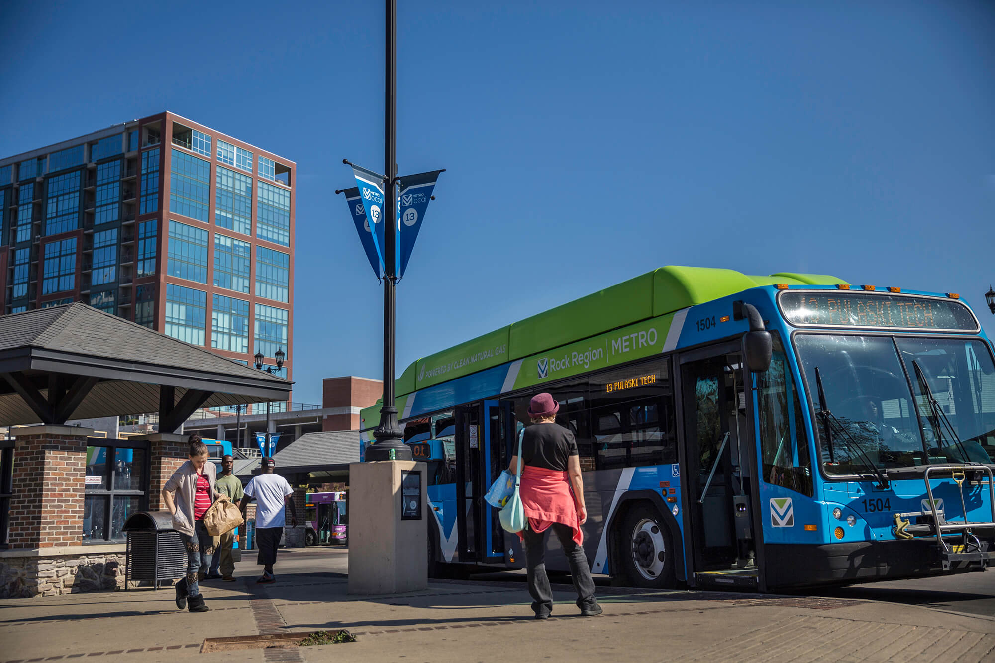
Regional Transportation Planning
Metroplan is the official transportation planner for Central Arkansas, serving as the region’s Metropolitan Planning Organization (MPO). We cover the area known as CARTS—the Central Arkansas Transportation Study. When we started, CARTS only included parts of Pulaski County, about 319 square miles. Today, it’s grown to 2,458 square miles, spanning Faulkner, Pulaski, Saline, and northwestern Lonoke counties.
CARTS is where we plan and track transportation projects, from big road improvements to bike and pedestrian upgrades. Most of our work—like the long-range Metropolitan Transportation Plan (MTP) and the 4-year Transportation Improvement Program (TIP)—focuses here. These plans help coordinate federal, state, and local funding so projects move from ideas to reality.
Transportation Planning, Piece by Piece
Transportation by the Numbers
From daily commutes to weekend road trips, transportation shapes life in Central Arkansas. The numbers tell a story—how we move, where we go, and what keeps our region connected. These stats give a snapshot of our roads, trails, transit, and travel habits, helping us see the big picture behind every trip.
Average daily vehicle-miles traveled (VMT) in Central Arkansas. This ranks 2nd among the 100 largest U.S. urbanized areas, behind Nashville TN (41.9 daily VMT). The average for all U.S. urbanized areas is 24.2 miles daily.
Source: Federal Highway Administration, Highway Statistics 2022
38
Minutes is the median travel time to work in Central Arkansas. U.S. average is 22.2 minutes.
Source: ACS one-year 2023
21.3
Workers cross county lines on their commute to work. This is about 27% of the 349,800 resident workers in the 6-county Little Rock-North Little Rock-Conway metro.
Source: CTPP 2017-2021
96,150
Number of NLR residents who commute to jobs in LR. This is 45% of NLR’s 30,200 resident workers and represents the largest city-to-city commuting flow in the region.
Source: CTPP 2017-2021
13,630