Long-Range Metropolitan Transportation Plan (MTP)
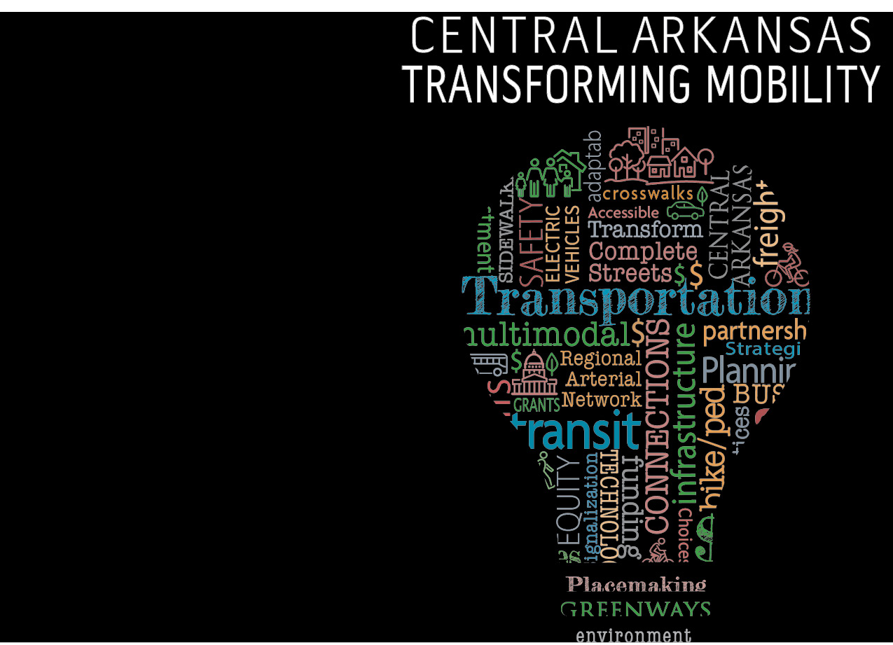
Central Arkansas Transforming Mobility: Planning for Transportation Needs through 2050
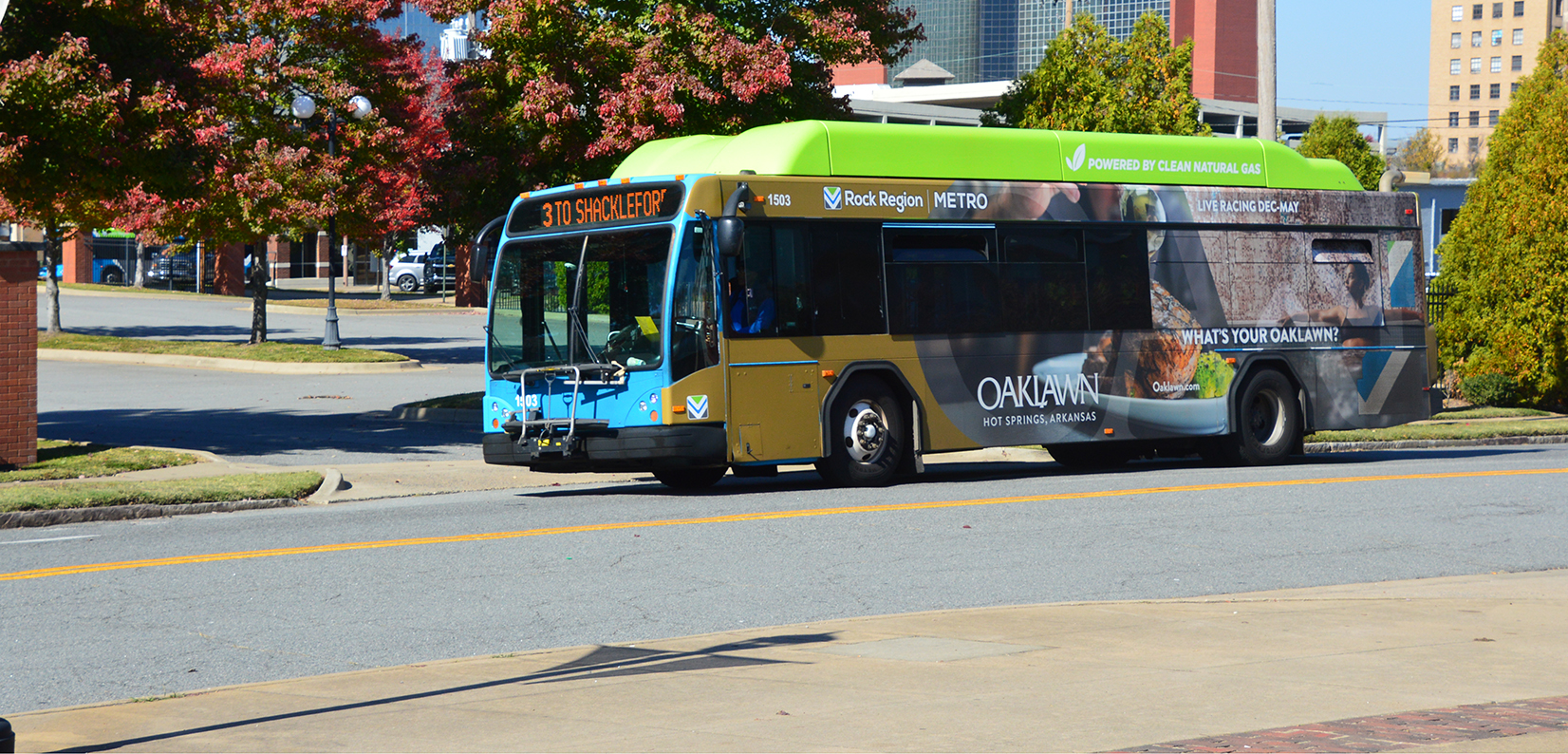
Central Arkansas Transforming Mobility defines how our region will move its residents safely and efficiently, giving them more transportation choices, and greater access to the places they cherish. The plan aims to preserve our region’s culture and history, while providing transportation choices that contribute to quality growth and a vibrant economy.
This plan builds on previous long-range plans, as well as drawing from extensive outreach and engagement with residents, businesses, community leaders, and government.
NOTE: Scroll down to read an abbreviated version of the MTP. For all references, images, graphics, statistics, and appendices, please open the full document linked below.
CENTRAL ARKANSAS IS TRANSFORMING MOBILITY
Central Arkansas Transforming Mobility defines how our region will move its residents safely and efficiently, giving them more transportation choices, and greater access to the places they cherish. The plan aims to preserve our region’s culture and history, while providing transportation choices that contribute to quality growth and a vibrant economy.
This plan builds on extensive outreach and engagement with residents, businesses, community leaders, and government. The Regional Advisory Committees (RAC), a citizen-led advisory body appointed by Metroplan’s Board of Directors, helped establish six “Regional Themes” during a public visioning process. These themes are the foundation for nine “Core Policies” within the Central Arkansas Transforming Mobility Plan that will guide Metroplan’s transportation initiatives.
LONG-RANGE METROPOLITAN TRANSPORTATION PLAN PROCESS
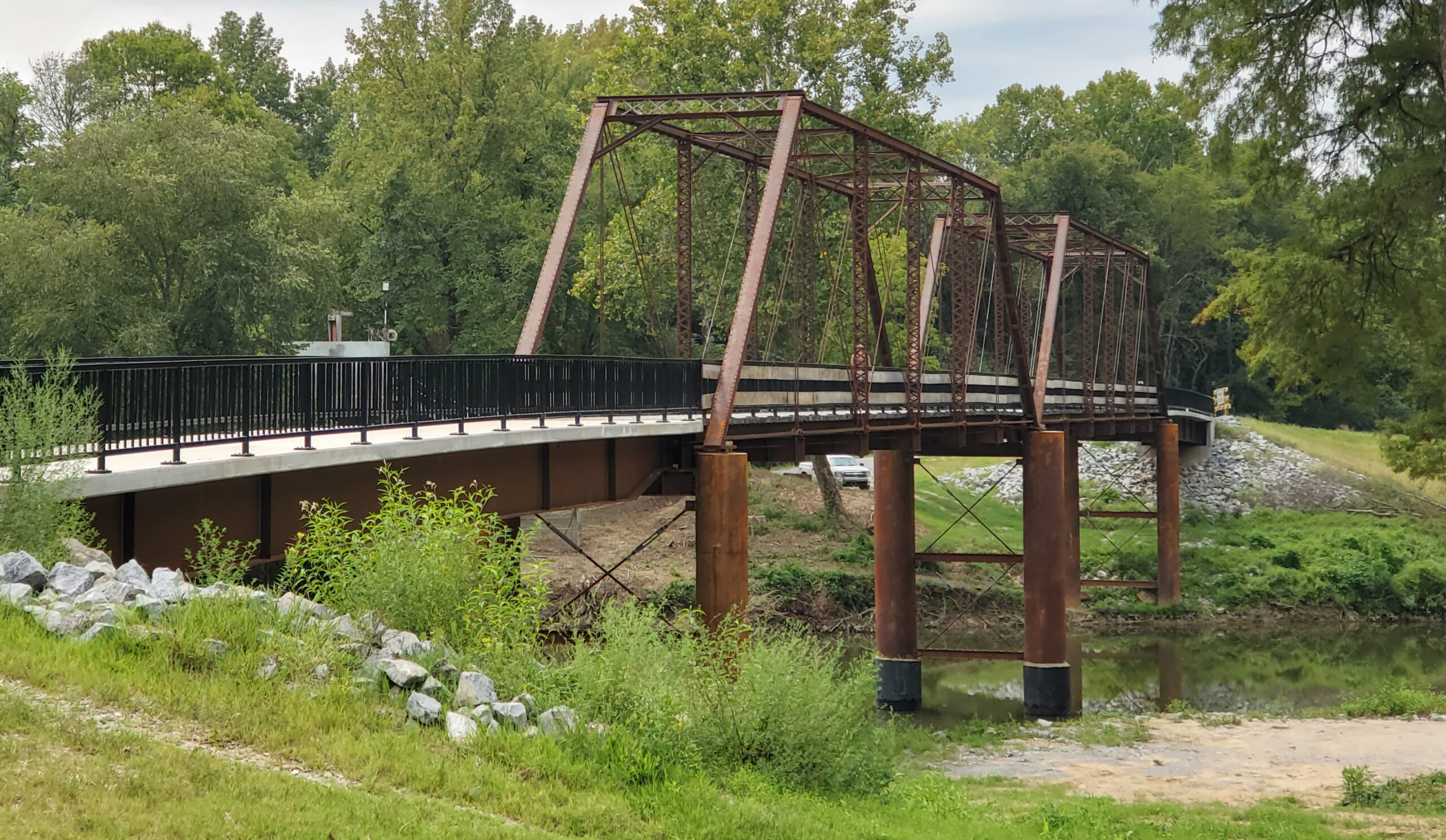
Metroplan is the federally designated Metropolitan Planning Organization (MPO) for Central Arkansas. Metroplan conducts long-range transportation planning for the Central Arkansas Regional Transportation Study (CARTS), which covers Faulkner, Pulaski, and Saline counties, and northwest Lonoke County. A Long-Range Metropolitan Transportation Plan (MTP) is federally required to make decisions on transportation issues and needs.
Central Arkansas Transforming Mobility is the latest MTP. The new plan represents a planning process that is regularly updated, allowing the region to look toward the long-term future while adapting in real time. New problems, as well as new opportunities, will inevitably crop up over time, and future plans will make necessary adjustments. The Central Arkansas Transforming Mobility Plan sets the year 2050 as the benchmark for reaching its transportation goals. It identifies transportation projects, forecasts available revenue, and prioritizes projects. The plan is informed by several implementation-oriented companion documents, some of which have already been completed, while others will become available over the planning period.
CHAPTER GUIDE
- MTP Chapter 1: Central Arkansas Transforming Mobility
An introduction to the 2050 Metropolitan Transportation Plan. - MTP Chapter 2: Central Arkansas Snapshot
A snapshot of where the region stands now and projections for the future, to form a basis for our policy decisions. - MTP Chapter 3: Transforming Mobility
A synthesis of public visioning for an accessible, equitable, and sustainable region and policy, drawing from Metroplan’s recent implementation-oriented studies. - MTP Chapter 3: Core Policy 1
- MTP Chapter 3: Core Policy 2
- MTP Chapter 3: Core Policy 3
- MTP Chapter 3: Core Policy 4
- MTP Chapter 3: Core Policy 5
- MTP Chapter 3: Core Policy 6
- MTP Chapter 3: Core Policy 7
- MTP Chapter 3: Core Policy 8
- MTP Chapter 3: Core Policy 9
- MTP Chapter 4: Metropolitan Transportation Plan
A guide for project development and selection, a financially constrained list of projects, and an assessment of key performance measures of our infrastructure investments. - MTP Chapter 5: Appendix
Public comment, planning studies, and further reading, which form the basis of our regional vision and implementation.
November 03, 2025
MTP Chapter 1: Central Arkansas Transforming Mobility
September 25, 2025
MTP Chapter 2: Central Arkansas Snapshot
October 17, 2025
MTP Chapter 3: Transforming Mobility
October 20, 2025
MTP Chapter 3: Core Policy 2
October 22, 2025
MTP Chapter 3: Core Policy 3
October 23, 2025
MTP Chapter 3: Core Policy 4
October 23, 2025
MTP Chapter 3: Core Policy 5
October 23, 2025
MTP Chapter 3: Core Policy 6
October 23, 2025
MTP Chapter 3: Core Policy 7
October 23, 2025
MTP Chapter 3: Core Policy 8
October 23, 2025
MTP Chapter 3: Core Policy 9