Central Arkansas Transforming Mobility: Planning for Transportation Needs through 2050

Central Arkansas Transforming Mobility defines how our region will move its residents safely and efficiently, giving them more transportation choices, and greater access to the places they cherish. The plan aims to preserve our region’s culture and history, while providing transportation choices that contribute to quality growth and a vibrant economy.

This plan builds on previous long-range plans, as well as drawing from extensive outreach and engagement with residents, businesses, community leaders, and government.

NOTE: Scroll down to read an abbreviated version of the MTP. For all references, images, graphics, statistics, and appendices, please open the full document linked below.

Chapter 1: Introduction

Chapter 1 briefly describes who Metroplan is, our process in developing the Long-Range Metropolitan Transportation Plan (MTP), and offers a succinct chapter guide to preview the documents’ content.

Cover of the Metropolitan Transportation Plan document

CENTRAL ARKANSAS IS TRANSFORMING MOBILITY

Central Arkansas Transforming Mobility defines how our region will move its residents safely and efficiently, giving them more transportation choices, and greater access to the places they cherish. The plan aims to preserve our region’s culture and history, while providing transportation choices that contribute to quality growth and a vibrant economy.

This plan builds on extensive outreach and engagement with residents, businesses, community leaders, and government. The Regional Advisory Committees (RAC), a citizen-led advisory body appointed by Metroplan’s Board of Directors, helped establish six “Regional Themes” during a public visioning process. These themes are the foundation for nine “Core Policies” within the Central Arkansas Transforming Mobility Plan that will guide Metroplan’s transportation initiatives.

LONG-RANGE METROPOLITAN TRANSPORTATION PLAN PROCESS

Metroplan is the federally designated Metropolitan Planning Organization (MPO) for Central Arkansas. Metroplan conducts long-range transportation planning for the Central Arkansas Regional Transportation Study (CARTS), which covers Faulkner, Pulaski, and Saline counties, and northwest Lonoke County. A Long-Range Metropolitan Transportation Plan (MTP) is federally required to make decisions on transportation issues and needs.
Central Arkansas Transforming Mobility is the latest MTP. The new plan represents a planning process that is regularly updated, allowing the region to look toward the long-term future while adapting in real time. New problems, as well as new opportunities, will inevitably crop up over time, and future plans will make necessary adjustments. The Central Arkansas Transforming Mobility Plan sets the year 2050 as the benchmark for reaching its transportation goals. It identifies transportation projects, forecasts available revenue, and prioritizes projects. The plan is informed by several implementation-oriented companion documents, some of which have already been completed, while others will become available over the planning period.

CHAPTER GUIDE

Chapter 2. Central Arkansas Snapshot—A snapshot of where the region stands now and projections for the future, to form a basis for our policy decisions.

Chapter 3. Transforming Mobility—A synthesis of public visioning for an accessible, equitable, and sustainable region and policy, drawing from Metroplan’s recent implementation-oriented studies.

Chapter 4. Metropolitan Transportation Plan—A guide for project development and selection, a financially constrained list of projects, and an assessment of key performance measures of our infrastructure investments.

Chapter 2: Central Arkansas Snapshot

Chapter 2 provides a snapshot into Central Arkansas—its population, economy, transportation system, land use, and equity concerns. Understanding the current state of our region is essential for benchmarking progress, outlining needs, and identifying challenges and opportunities for growth. This MTP, and the planning documents appended herein, have been written with the data in mind. Chapter 2 sheds light on and informs policy decisions in Chapters 3 and 4.

Three generations of a Black family

POPULATION

Historically, the growth in the adult and child populations have easily outpaced any growth in the senior population. However, Baby Boomers have flipped the script. By 2030, the number of seniors will match the number of children in the region. Meanwhile, the number of people in prime working age and the total population will stay largely flat. The slowdown in forecasted regional growth past 2030 is based on declining fertility, slightly increasing death rates due to aging of the population, and a continuation of observed 2010–2015 migration patterns.

Central Arkansas is consistent with national trends showing growth among Hispanic residents and people of color. The most striking change between 2010 and 2020 was a more than tripling of the regional population identifying as “two or more races” on the Census. The large growth in the percent of people identifying as multiracial in the 2020 Census was consistent with a national trend.

Source: Decennial census 1990-2020. Metroplan forecast to 2050.

Pulaski County is home to much of the region’s diversity.

55.4% OF REGION’S TOTAL POPULATION
83.1% OF REGION’S AFRICAN AMERICAN POPULATION
63.7% OF REGION’S HISPANIC POPULATION

Central Arkansas is consistent with national trends showing growth among Hispanic residents and people of color. The most striking change between 2010 and 2020 was a more than tripling of the regional population identifying as “two or more races” on the Census. The large growth in the percent of people identifying as multiracial in the 2020 Census was consistent with a national trend.
Source: Decennial census 1990-2020.

ECONOMY AND EMPLOYMENT

Central Arkansas still leads the state’s metro areas in economic output. However, Northwest Arkansas has increased its share of GDP in recent decades.

The chart 2.8 depicts regional economic changes from May 2019 to May 2023. Note that the biggest job loss was in the government sector. Based on national trends, this is probably a byproduct of changing economic conditions. Government jobs offer less competitive wages, and in the post-Covid labor shortage workers have flocked to better-paying sectors.

Central Arkansas’ growing status as a logistics hub has brought with it a large increase in transportation/warehousing & utility workers, increasing by 5,700 in four years.

The fast growth in the region’s education/health sector outpaced U.S. growth in the same period. The bulk of these jobs are in the health sector.

LOGISTICS

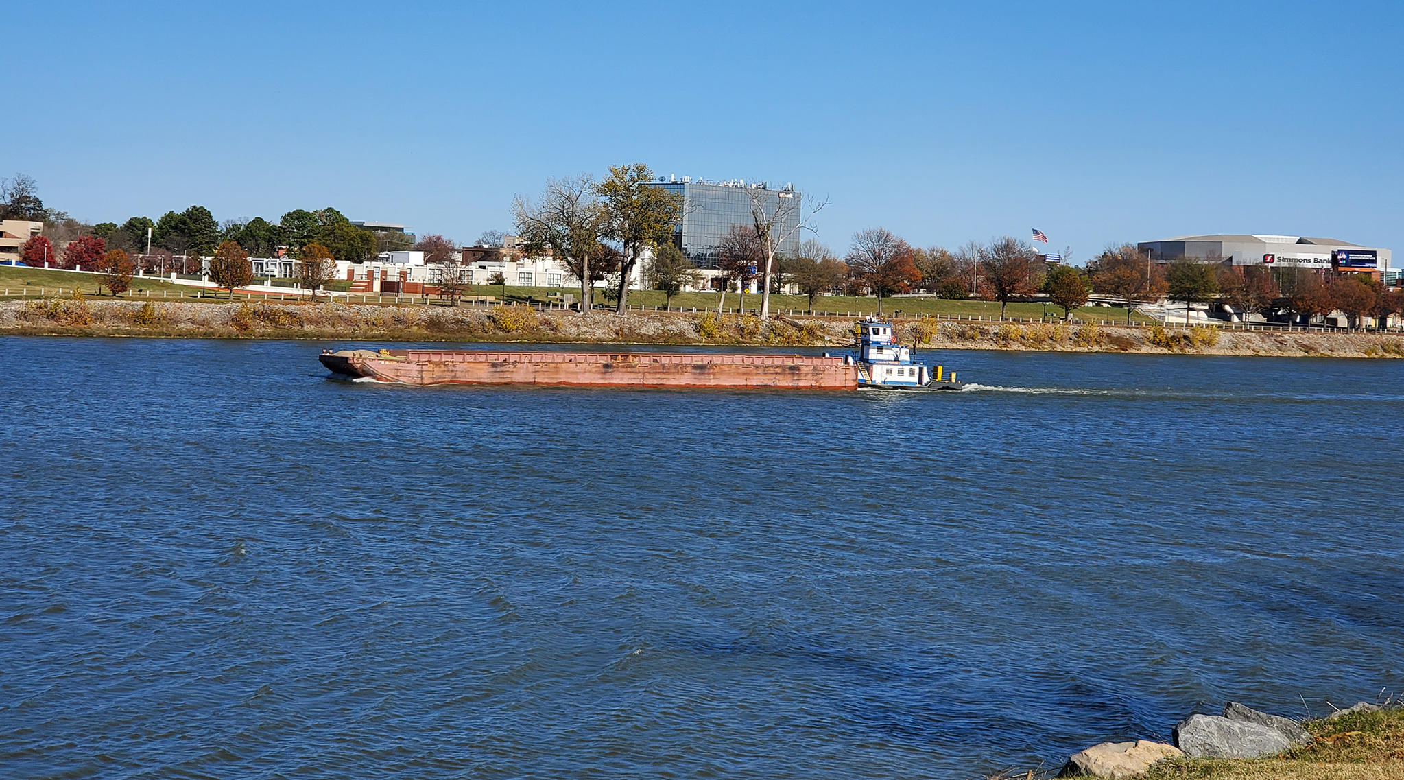
In May 2023, the industry publication Business Facilities featured the Little Rock area on its list of Top Logistics Hubs. Central Arkansas’ strategic location in national freight movement and market reach, availability of facilities, and infrastructure improvements factored into its inclusion on the list. The convergence of interstates, rail lines, pipelines, and the McClellan-Kerr navigation system along the Arkansas River make the region an ideal location for intermodal terminals, which facilitate the transfer of freight between different transportation modes for maximum efficiency. In Central Arkansas, these facilities allow highway-rail freight transfer and transfer at several facilities along the Arkansas River of goods between rail, highway, pipeline, and barge.

The National Highway Freight Network (NHFN) classifies highways into a 4-tier hierarchy of importance:
  • Tier 1: Interstate highways and other significant Intermodal connectors. Eligible for federal freight funding.
  • Tier 2: Highways on the Four-Lane Grid System, other roadways meeting specific truck volume thresholds, and rural principal arterials with at least 25% truck traffic.
  • Tier 3: Additional roadways that provide important redundancy to the Interstate and freeway network.
  • Tier 4: Remaining facilities on the Arkansas Primary Highway Network which do not serve a high-volume of freight traffic.
Little Rock Port Authority

Little Rock is an inland city, but has a sizeable port located on the nation’s domestic waterway system. The Little Rock Port is notable for high-quality freight access, with rail, freeway and barge access plus a major urban airport nearby. The Little Rock Port hosts a variety of businesses, mainly manufacturing and warehousing/logistics operations. Some 3,000 people work at the Port’s largest employer, an Amazon warehouse. Other major firms include Welspun (steel pipe-making) with nearly 1,000 jobs, Delta Plastics (plastic recycling), and numerous other food processing, steel, and assorted other activities. The Port has grown in recent years and has a total workforce of around 8,000. It includes two potential super-sites with over 1,000 acres of land available for future development.

Clinton National Airport

The Bill and Hillary Clinton National Airport saw over one million passenger enplanements in 2022. It is the largest airport in the state of Arkansas, with a total of nearly 7,000 jobs in the airport and nearby. The airport is also the location of Dassault Falcon Jet, a manufacturing firm which does interior finishing on business jets. At last count the firm employed 1,395 workers.1 It is supplemented by other firms in the aircraft modification business, including CAC (Custom Aircraft Cabinets) located in North Little Rock.

Financial Sector

Central Arkansas has an outsize role in finance and investment. The region’s financial sector has shown solid growth over the past decade, suggesting it is a specialty in which the region holds competitive advantages. During the years 2019-2023, the region’s financial sector showed a net job gain of 12.8 percent, nearly three times faster than the average U.S. gain of 4.4 percent in finance. Little Rock played a key role in early electronic banking, and still plays a significant role in finance research and development. The Little Rock-based Venture Center is a fintech innovation hub of national significance.

Spotlight on: Truck Parking

There is a critical need for truck parking along Central Arkansas’ major freight corridors. Lack of parking causes safety issues through undesirable truck parking activities or drivers operating beyond their maximum hours of service. Truck parking facilities in the 4-county MSA are regularly over capacity.

TRANSPORTATION AND LAND USE

Pulaski County remains the region’s employment hub, attracting commuters from all over the MSA. However, only Saline and Lonoke Counties see the majority of their residents commuting into Pulaski County. Faulkner County has become its own job hub, employing 68% of residents within its own boundaries.

Central Arkansas’ population is becoming more decentralized. Over the last 30 years, the population within 5 miles of downtown Little Rock has decreased while the population more than 10 miles from downtown Little Rock has grown significantly. This has led to a greater dependence on the region’s Interstates and freeways.

However, walkable urban areas are seeing growth. The area within 1 mile of downtown grew by 331 residents in 30 years, bucking the overall trend of declining density. Residential growth in the River Market, North Little Rock’s Argenta District, Quapaw Quarter, and MacArthur Park neighborhood shows denser, historic neighborhoods do attract new residents and investment.


CONGESTION

At an average of 37.4 miles traveled per person daily, the Little Rock Urbanized Area (UA) ranked second highest for daily vehicle-miles of travel (DVMT) among the 100 largest urbanized areas in the United States. CARTS travel demand model forecasts show total daily hours of vehicle delay will nearly triple between 2015 and 2050. Forecasts are based on projections of a growing regional population with relatively unchanged travel behavior. Most delays currently occur on interstates, but the percentage of delays on non-interstate roadways is expected to increase.

One recent development that will likely impact future forecasts is the dramatic rise of remote working since 2020. The number of workers working from home on one or more days a week has decreased from the 2020 peak but has remained at far more elevated levels than ever seen prior to the COVID-19 pandemic. Any reduction of trips in the AM and PM peak travel periods can have an outsized impact on reducing congestion and delay.


HOUSING AND TRANSPORTATION COSTS

Central Arkansas is quite affordable when considering housing costs alone. All the cities in the MSA meet the affordability benchmark of 30% or less of median household income spent on housing. However, when transportation costs are factored in, most places in central Arkansas are considered unaffordable, meaning households spend more than 45% of median income on housing + transportation. Affordability tends to worsen the farther away people live from regional employment centers like Little Rock/North Little Rock and Conway. If left unchecked, an increased lack of H+T affordability could negatively impact the region’s quality of life and economic competitiveness.

Source: The Housing and Transportation (H+T®) Affordability Index by the Center for Neighborhood Technology (CNT). H+T is considered “affordable” at 45% or less of median household income.

ROOM FOR IMPROVEMENT

Infrastructure Condition

The Arkansas Department of Transportation is consistently addressing pavement conditions. Approximately 90% of all interstate and non-interstate National Highway System (NHS) lane miles are in the “good or fair” category. However, as our infrastructure ages, fewer lane miles are considered in “good” condition.

Much of the burden of future roadway maintenance will fall on cities, which have almost 4,000 miles of aging roadways to maintain. The funding to maintain 67% of this road mileage will have to come from municipal revenue sources.

It is less expensive to elevate roadways from “fair” to “good” than it is to repair lanes once they have fallen into the “poor” category. Maintaining current infrastructure in at least “fair” condition will be a major focus for ARDOT as roadways continue to age.
Source: ARDOT Highway Performance Monitoring System (HPMS) 2017–2020.

Safety

Non-motorized transportation users like pedestrians and bicyclists are at highest risk of serious injury and death when traveling at dark. Streets should be built for all modes of transportation, the appropriate, human-scale lighting. Metroplan’s Multimodal Infrastructure Guidelines can assist cities and counties with safer, more accessible designs. ARDOT’s Complete Streets policy, currently under development, will address similar goals on state highways.
Source: Arkansas State Police Crash Database.

Figure 2.20. Serious Injuries and Fatalities by Light Condition 2017–2021

Transportation Choices

For any mode of transportation to be a practical choice for most Central Arkansans, it must be: 1) easy to access, 2) safe, 3) convenient, and 4) affordable. Currently, the personal vehicle is by far the most heavily-used mode of transportation. However, just because people are not using other modes does not mean they do not want to use other modes. It means our region must do better to make other modes as accessible as the personal vehicle.

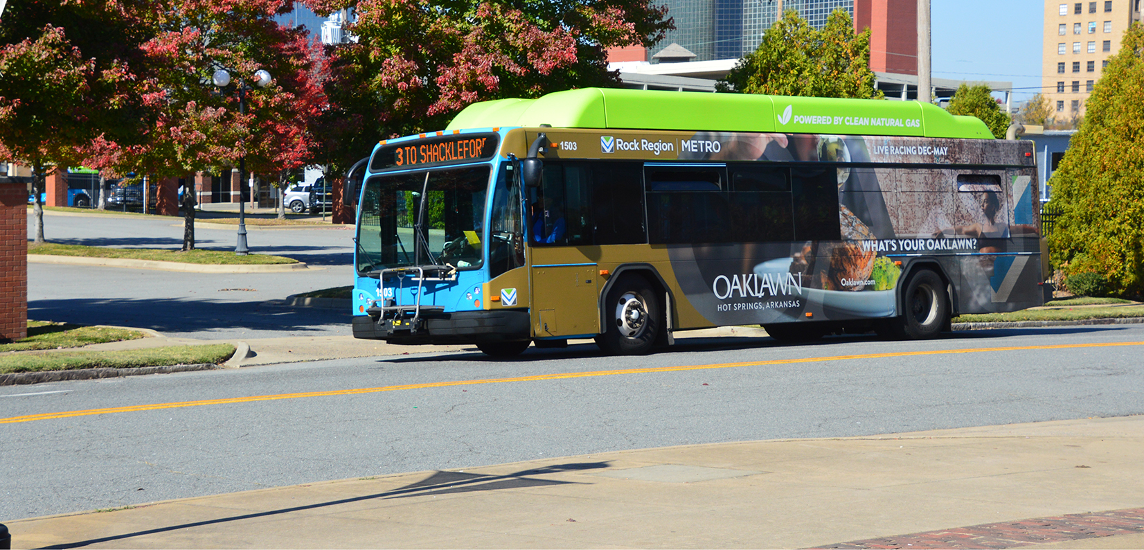
Rock Region METRO, currently Central Arkansas’ only urban transit agency, operates both fixed routes and METRO Connect Zones with point-to-point service in Little Rock, and North Little Rock, and a METRO Connect Zone in Conway. Other counties offer rural transit. Strengthening region-wide transit would require close schedule and route coordination between providers to facilitate transfers between systems.

Rural Transit Service Providers

  • Saline County: South Central Arkansas Transit (SCAT)
  • Grant County: Southeast Arkansas Transportation (SEAT)
  • Perry County: Western Transit System (WTS)
Spotlight on: The Land-Use Transit Connection

Adding residents where bus stops already exist makes transit a viable option for more people. Multi-family developments have increased in larger communities like Little Rock in recent years, but less than half (49%) of all multi-family units built in Little Rock between 2010 and 2020 are located within Rock Region METRO’s current service area.

Chapter 3: Transforming Mobility

Chapter 3 provides a policy framework and identifies planning study needs for the future of Central Arkansas’ transportation system and complementary land development. This chapter relies on federal regulations, public input, and cooperation with our regional partners and their planning efforts to inform our region’s goals and guiding policies.

Metroplan is empowered by 10 Federal Planning Factors, found in regulations 23 CFR 450.306(b), but driven by the desire to see the region reach its potential as an accessible, equitable, and sustainable home for its 700,000 residents. With the frame of previous plans, we engaged our Advisory Committees to develop five “Regional Goals” for a Central Arkansas transformed through greater mobility for multiple modes.

Metroplan continued this work as it standardized best practice policies for both land development and transportation through several documents. Chapter 3 introduces previous MTPs, the Unified Development Code, Multimodal Guidelines, Regional Greenways Plan, Safety Action Plan, and other influencing plans and recognizes where more guidance is needed in future Metroplan studies. Core Policies are supported by these documents that serve as a foundation for implementation and achieving our Regional Goals.

FOUNDATIONAL STUDIES

Recent Metroplan studies are the foundation of the Core Policies that manifest our Regional Goals. These are organized into two categories: “Plan Influences” shape where we want to be as a region, and “Policy Formers” show us how to get there. The “Plan Influences” are not actionable policy for implementation but build on our regional aspirations. The “Policy Formers” are studies that implement our Core Polices with specificity, be it through design guidance, land development regulations, or corridor identification.

These documents, essentially, form the backbone to transform mobility in Central Arkansas. Each major contributing document is described below as it fits into the plan.

PLAN INFLUENCES

Metro2020

Metro2020 started Central Arkansas’ journey towards a better transportation system. Metroplan’s foundational MTP has filtered down through the last three decades of planning. The plan first established a regional approach to investing in transportation while considering land development impacts on the system. This idea carries on currently.

Imagine Central Arkansas

Imagine Central Arkansas, 2013, broadened Metroplan’s planning focus beyond transportation and land use, adding more livability elements like housing, health, and the economy. Maintaining existing transportation infrastructure has become crucial policy today, as investment becomes more prudent with an aging, expensive system.

The Central Arkansas Green Agenda

Adopted in 2011, the Green Agenda’s four focuses: movement, power, nature and knowledge, resulted in 13 strategies and 106 actions to guide sustainable practices in transportation and development that would preserve air and water quality. These ideas have since woven into Metroplan’s MTPs and continue their influence in this plan.

Plan Influences, From Our Partners

In addition to Metroplan’s documents, Transforming Mobility is informed and advised by plans from transportation partners.

  • Arkansas Strategic Highway Safety Plan (ARDOT, 2022)—A comprehensive framework to reduce fatalities and serious injuries on public roads.
  • Arkansas State Freight Plan (ARDOT, 2017)—Identifies trends, issues, and needs; outlines policies, strategies and performance measures; and identifies high priority projects to guide investments in freight.
  • Arkansas Electric Vehicle Infrastructure Deployment Plan (ARDOT, 2022) – Guides investments for new strategically placed Electric Vehicle Supply Equipment charging stations to increase access for travelers nationwide.
  • R.I.D.E 2020 (Rock Region METRO, 2020)—A comprehensive budget-neutral operational analysis to improve transit service in Central Arkansas that updates service area, improves directness and frequency, and expands microtransit while readjusting funding to meet current needs.
  • We Move Arkansas—Transportation 2040 (ARDOT, 2017)—Arkansas’s Long Range Intermodal Transportation Plan is a policy context that addresses transportation issues in Arkansas for the next 25 years. The long-range plan takes a big picture look at the goals of the transportation system over a long term horizon.
  • Arkansas Bicycle and Pedestrian Transportation Plan (ARDOT 2017)—This plan recognized the need and benefits of embracing walking and biking. These are integral to transportation and recreation and can strengthen economic and social vitality in the state’s communities. The plan identifies three goals and eight objectives to guide state initiatives.
  • Full Steam Ahead (ARDOT 2023)—ARDOT’s 2023-2028 Strategic plan to deliver a modern transportation system to enhance safety and quality of life. To reach this vision, it establishes ARDOT’s core values, goals and objective for the transportation system, its employees, customer service and partnerships.

POLICY FORMERS

The Public Participation Plan (3-P)

The 3-P is a federally mandated document intended to (1) provide a guide to the planning process adopted by Metroplan; (2) increase public awareness and engagement; and (3) broaden the range of voices and views in the planning process. Critical to public engagement are transparency of process and ensuring early and continuing involvement in regional planning and implementation.

Unified Development Code

The Unified Development Ordinance (UDO), 2022, is a model zoning and subdivision regulation written for small cities but also applicable in neighborhoods of larger cities. It includes regulations for zoning, subdivision, utilities, and urban design. Led by its guiding principles – clarity, ease of use, flexibility, safety, connectivity, sustainability/resilience, and equity/choice – the UDO serves as a local implementation tool for many of this MTP’s core policies.

Multimodal Infrastructure Guidelines

These guidelines recognize that our streets should be shaped by the context of their location and accessibility for multiple types of users. Streets not only connect us to homes, jobs, education, services, and recreation, but they are also our most active and visible public spaces. They have a tangible impact on our residents’ quality of life, economic competitiveness, local business’s success, and visitors’ perceptions of the region. The guide establishes an approach to street design that prioritizes all modes and offers the opportunity to implement design decisions with consistency, providing predictability in costs and regional uniformity in function and style.

Regional Arterial Network Planning Study

The RAN was created in 2002 to provide a highly connected system of roads that provided a regional alternative to the freeway system. The plan Identified 29 corridors and deemed 16 of them priority for Investment. This document has guided Metroplan’s Transportation Improvement Program development since the turn of the century. Projects such as intersection improvements, access management, technology upgrades, bridge replacement, and roadway widening were recommended for the subsequent 20-year period from adoption, and projects on these critical corridors continue today.

Central Arkansas Regional Greenways Plan

The study details six regionally significant active transportation corridors connecting the Little Rock-North Little Rock core to West Little Rock, northwest to Conway, northeast to Ward, east to Lonoke, southeast to Wrightsville and southwest through Saline County. The Metroplan Board set a strategic target of $55 million, over a ten-year period, in investments towards the construction of the 222-mile system of separated pathways to increase mobility for non-motorized travelers. The plan also recognizes critical trail segments and imparts design and wayfinding guidance for system buildout.

Central Arkansas Safety Action Plan

The plan will set goals, recommend policies, and identify demonstration projects to significantly reduce roadway fatalities and serious injuries to increase safety for all road users in Central Arkansas. The study will analyze current conditions system wide and consider equitable solutions for pedestrians, bicyclists, transit riders, motorists, personal conveyance and micro-mobility users, and commercial vehicle operators.

Corridor Specific Plans

Metroplan, ARDOT, and local sponsors often develop corridor plans that define needs and opportunities to improve our transportation network. These studies may examine new major connections, reassess capacity and traffic signal operations, or determine multimodal infrastructure needs along certain segments. Recent examples like the South Loop Study, East-West Connector, Highway 89, Highway 107 will inform project development in the MTP.

Regional Goals

Metroplan’s original 20-year MTP planning horizon sunset in 2020. Work towards the region’s new transportation vision began in 2019, as Metroplan formed the citizen-based Regional Advisory Committees and engaged the public through the Connecting Central Arkansas Public Outreach Initiative. After synthesizing the public’s contribution, the RAC recognized five recurring goals for the region’s future.

1. Active Neighborhoods and Placemaking

Transportation investments and land development practices should achieve active walkable and bikeable communities, transit readiness, and quality public places, while supporting economic vitality and livable communities.

2. Accessible Transportation

Transportation infrastructure should link the region’s jurisdictions, neighborhoods, and activity centers by defining a robust, seamlessly connected multi-modal system. All users should have access to affordable transportation options that link homes, employment and essential services.

3. Reliable, Resilient, and Safer Transportation and Environments

The transportation system should be designed and maintained to address infrastructure condition, congestion, safety, and environmental impacts. The transportation system should support the needs of a region with varying urban, suburban, and rural populations and landscapes.

4. Innovation in Transportation and Land Development

From policy to infrastructure construction and maintenance, innovative ideas and technologies should be deployed to benefit pedestrians, motorists, transit riders, cyclists, and telecommuters. Freight movements should be optimized using intermodal connectivity.

5. Regional Collaboration and Identity

Regional partnerships, policies, and programs should encourage local policy decisions and investments that foster a connected and equitable transportation system that elevates Central Arkansas nationally.

Implementation Roadmap: Core Policies

Through a synthesis of public outreach, review of existing plans from Metroplan and partners, and the development of new planning documents, Central Arkansas: Transforming Mobility identifies nine core policies to guide Metroplan’s transportation decision making and land development in the region. These policies move us closer to our regional goals.

Policy 1

Make equality and accessibility integral to all Metroplan’s planning efforts through consistent and systematic, fair, just, and impartial treatment of all individuals.

Policy 2

Design and implement multimodal corridors based on 7 corridor types from the Multimodal Guidelines: Connectivity, Accessibility, Safety, Placemaking, and Active Transportation.

Policy 3

Maintain current roadway network and prioritize projects that optimize existing infrastructure before expanding capacity.

Policy 4

Develop the Regional Greenways to create a more complete transportation network.

Policy 5

Strengthen coordination between land development and the transportation network by encouraging mixed-use and flexibility in housing.

Policy 6

Support regionwide transit development that adapts to a dynamic transportation environment.

Policy 7

Embrace new technologies and best practices to optimize mobility and protect the environment. (ITS Plans and State EV plan, Smart Streets Plan)

Policy 8

Build upon state freight planning to identify critical local freight corridors and increase intermodal options.

Policy 9

Collaborate with local, regional, and state partners to advance Central Arkansas.

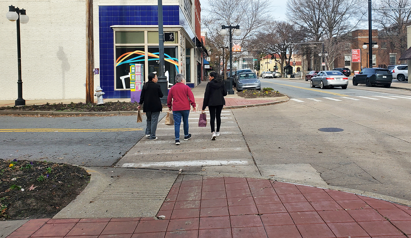
A blind person crossing the street
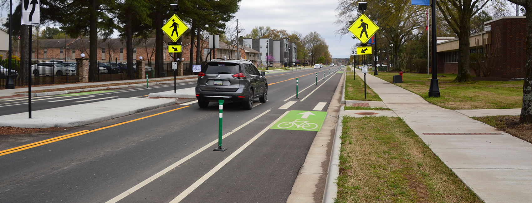
Road with a green bike lane

Multimodal Infrastructure Guidelines Corridor Types

The Multimodal Infrastructure Guidelines establish character corridors that frame how to apply best specific designs for multiple transportation modes regardless of the street classification.

Corridor TypesDescriptionExample Street Classifications
Downtown Mixed UseMost Urban with heavy pedestrian traffic, street parking and diverse business and residential types.Principal Arterial • Minor Arterial • Collector • Local Street
Town Main StreetDenser commercial heart of a small town over a few blocks.Principal Arterial • Minor Arterial • Local Street
Suburban Residential ConnectorConnect multiple neighborhoods, employment and commercial areas and accommodate cars, walkers, bike riders, and transit.Minor Arterial • Collector
Urban ResidentialNeighborhood streets that support low intensity localized travel and enhance residents’ quality of life.Local Street
Suburban CommercialWide, high speed roads with commercial development, distance between intersections, and driveway access. Sidewalks often line the street with crossings at intersections.Principal Arterial • Minor Arterial
IndustrialAccommodate large truck traffic, loading, and distribution needs of industrial businesses. Usually found away from downtowns and residential areas.Varies
Rural StreetConnect small communities over longer distances. Wide paved shoulders can accommodate bike riders and pedestrians.Principal Arterial • Minor Arterial • Major Collector
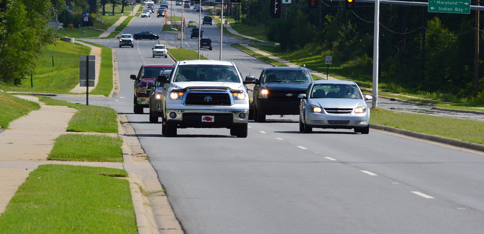
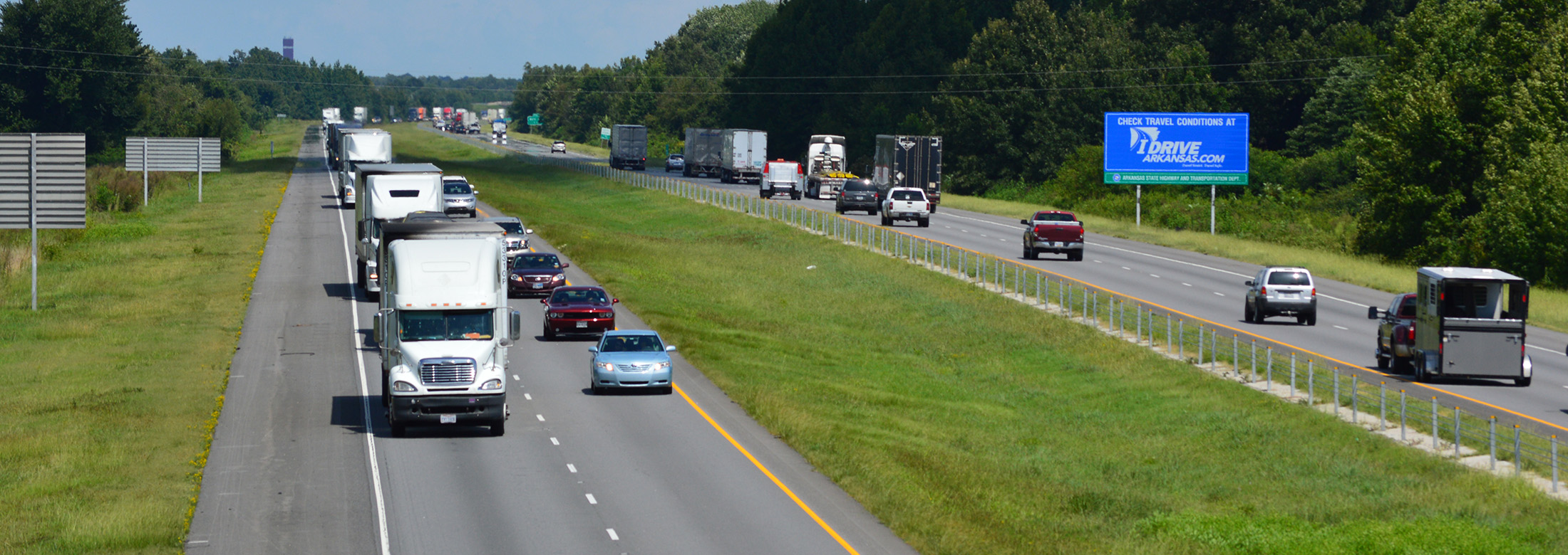
Car commuters on the interstate
A cyclist on the Southwest Trail, a part of the Regional Greenway trail system.
A row of houses next to a sidewalk
A Rock Region METRO bus